High-Quality Drone Farm Mapping for BORAN Factories & Manufacturers
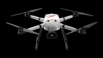
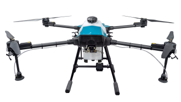
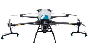
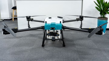
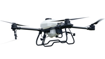
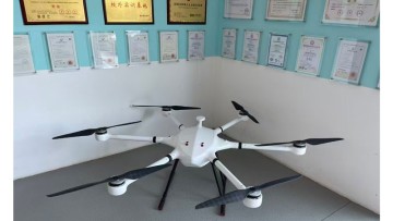
Experience high-quality Drone Farm Mapping with Xuzhou Boran Machinery Co., Ltd. Our advanced drone technology and mapping tools allow you to efficiently survey, analyze, and manage your farmland with precision and accuracy, Our drones are equipped with state-of-the-art cameras and sensors, providing detailed and high-resolution imagery for comprehensive mapping. With our easy-to-use software, you can create 2D and 3D maps, identify areas of concern, and monitor crop health with real-time data. This invaluable information allows you to make informed decisions, optimize crop yield, and improve overall farm performance, Our drones are designed for durability and reliability, ensuring they can withstand various weather conditions and deliver consistent results. They are also easy to operate, making farm mapping accessible for all users