BORAN Drone Agriculture Mapping: Leading Manufacturers for Precision Farming
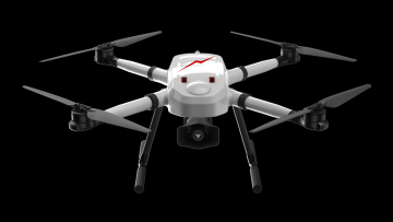
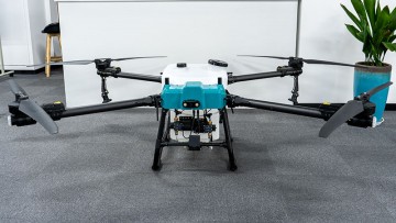
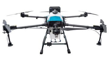
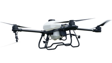
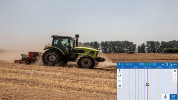
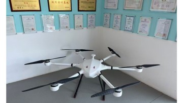
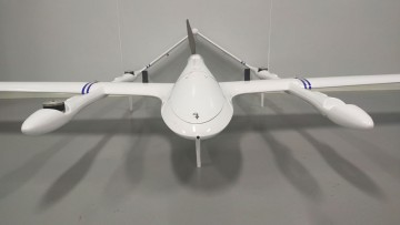
Revolutionize your agricultural operations with the BORAN Drone Agriculture Mapping system, brought to you by Xuzhou Boran Machinery Co., Ltd. This advanced technology allows you to efficiently survey and analyze your farmland from the air, providing valuable insights to optimize crop management, The BORAN drone is equipped with high-resolution cameras and sensors to accurately capture and map your fields, giving you a comprehensive overview of your agriculture land. With this data, you can effectively monitor crop health, detect areas of stress or irrigation issues, and make informed decisions to increase yield and reduce costs, Not only does the BORAN Drone Agriculture Mapping system enhance productivity, but it also promotes sustainable agriculture practices by pinpointing areas for targeted interventions, minimizing resource use and environmental impact, Take your farming operations to the next level with the BORAN Drone Agriculture Mapping system from Xuzhou Boran Machinery Co., Ltd. Discover the power of precision agriculture and unlock the full potential of your land