Best Drone for Agriculture Mapping: Custom BORAN Manufacturers Guide
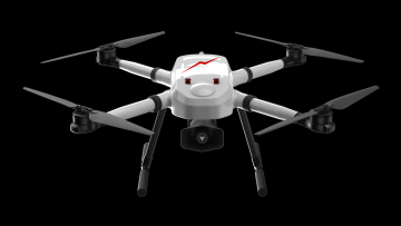
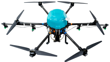
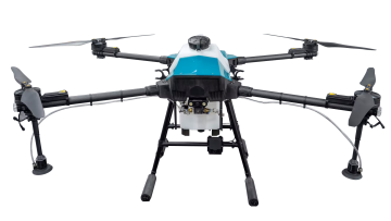
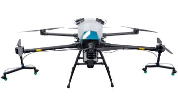
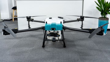
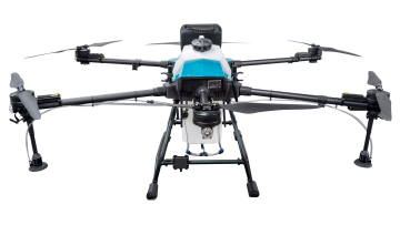
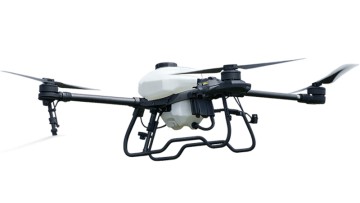
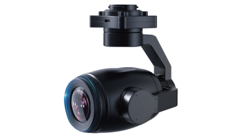
Enhance your agricultural operations with the best drone for agriculture mapping from Xuzhou Boran Machinery Co., Ltd. Our advanced drone technology provides precise and accurate mapping of your fields, allowing you to make informed decisions and optimize your crop management, Our drone is equipped with high-resolution cameras and advanced sensors, enabling it to capture detailed imagery of your fields. The data collected is then processed using cutting-edge software to generate accurate maps and 3D models of your agricultural land, With the ability to identify areas of crop stress, monitor plant health, and track field variability, our drone is a valuable tool for precision agriculture. It allows you to target specific areas for irrigation, fertilization, and pest control, leading to improved crop productivity and yield, The drone is easy to operate, durable, and designed to withstand challenging environmental conditions. It also offers real-time monitoring and data analysis, empowering you to make timely and effective decisions for your agricultural operations, Invest in the best drone for agriculture mapping from Xuzhou Boran Machinery Co., Ltd. and experience the difference in your farming practices