Best Drone Agriculture Mapping: Custom Manufacturers & Suppliers
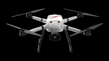
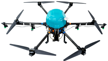
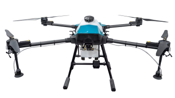
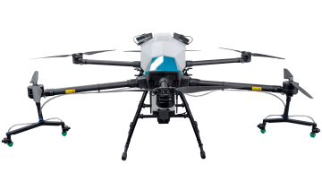
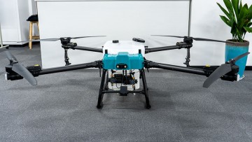
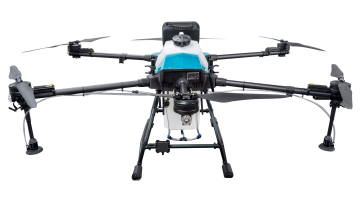
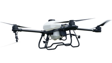
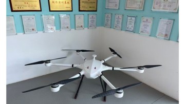
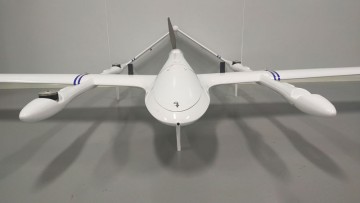
Discover the best drone for agriculture mapping with Xuzhou Boran Machinery Co., Ltd. Our advanced drone technology is specifically designed for precision agriculture, allowing farmers to accurately monitor and assess their crops and fields, Our drone is equipped with state-of-the-art mapping and imaging technology, providing high-resolution aerial images and data that can be used for crop health analysis, yield prediction, and irrigation management. With real-time data collection and analysis, farmers can make informed decisions to optimize crop yield and reduce resource wastage, The drone is easy to operate and can cover large areas in a short amount of time, saving labor costs and increasing efficiency. It is also durable and reliable, capable of withstanding various weather conditions and terrain